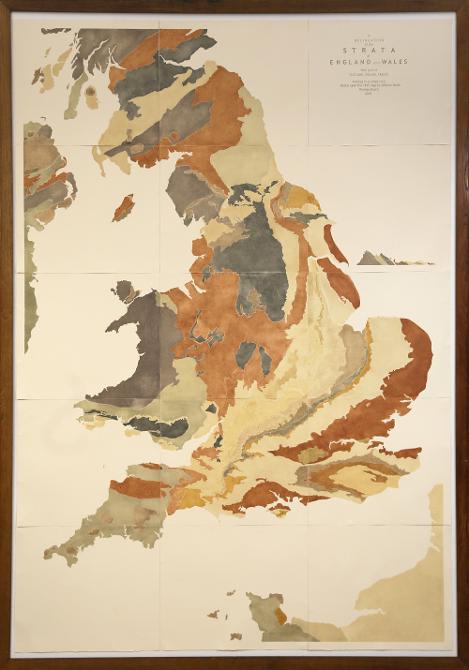
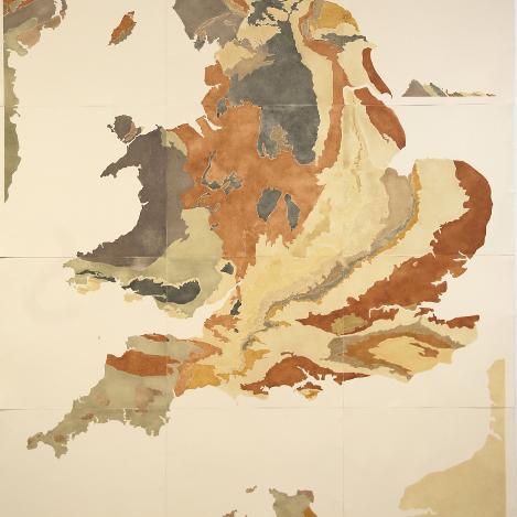
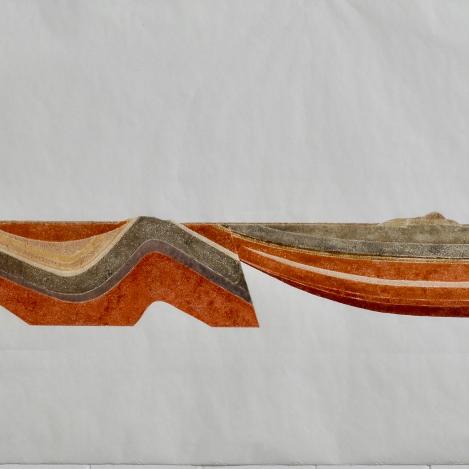
A Delineation of the Strata of England and Wales, with parts of Scotland, Ireland and France. 2.4m x 1.8m. Based on the original William Smith Map of 1815.
The map was produced during Rodney Harris's Leverhulme Trust Artist residency at Bristol University in 2016.
It is now part of the permanent collection of the University and can be seen by appointment in the School of Earth Sciences.